Taxes included.
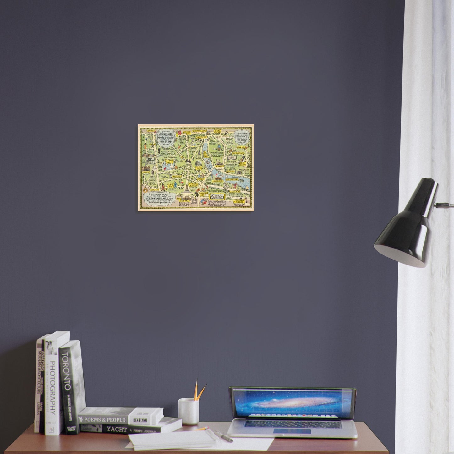
A colourful pictorial map of Kensington Gardens and Hyde Park, filled with the landmarks, stories and small details that have shaped two of London’s best-loved green spaces.
Created by English artist John Pearson Sayer for The Strand Magazine in 1948, the map follows the parks from Kensington Palace and the Round Pond to the Long Water, the Serpentine and Rotten Row. The Albert Memorial, Royal Albert Hall, Lancaster Gate, Queen Anne’s Alcove and the park’s many paths and gardens appear among lively illustrations of visitors, animals and everyday park life.
Handwritten captions turn the map into a piece of social history as well as a guide, recording royal connections, architectural landmarks, popular pastimes and curious local stories. The result is warm, informative and full of character—an engaging landscape print for a living room, study or hallway, and a thoughtful gift for anyone with a connection to London, Kensington or Hyde Park.
Print details
- Premium matte fine-art poster
- Heavyweight 200 gsm paper
- Smooth, non-gloss finish
- Printed to order
- Landscape orientation
- Unframed
The complete artwork is reproduced without cropping or distortion. A carefully matched pale surround may be included where needed to preserve its original proportions.
Frame and poster hanger are not included. Colours and fine details may vary slightly between your screen and the finished print.
Printed and dispatched by our professional print partner.
Available sizes
- 30 × 40 cm / 12 × 16 in
- 45 × 60 cm / 18 × 24 in
- 60 × 80 cm / 24 × 32 in
All sizes are supplied in landscape orientation.
Artwork details
-
Artist: John Pearson Sayer
-
Title: A Map of Kensington Gardens and Hyde Park
-
Date: 1948
-
Publisher: The Strand Magazine, London
-
Style: Pictorial cartography
-
Source: Public-domain historical artwork